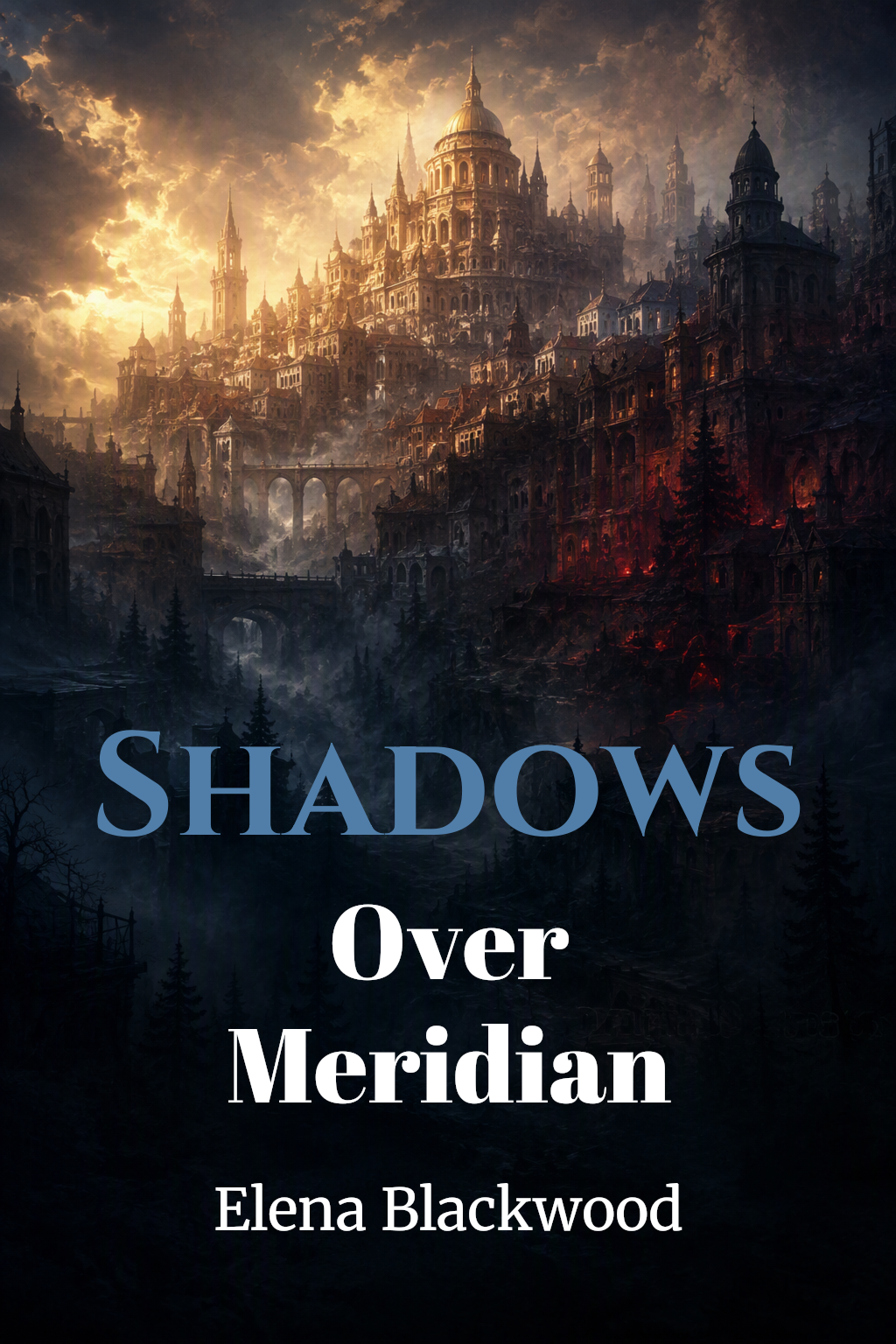

About this Story
The great trading city of Meridian has stood for five hundred years, but the cartographers have begun to notice something wrong with the maps — streets that shift, districts that appear overnight, and a darkness spreading from the old quarter that no lantern can penetrate.
The Cartographers Map
The Guild of Cartographers was the oldest institution in Meridian, older than the merchant councils, older than the city walls, older in its present form than the current dynasty by a factor of three. It had mapped the city continuously for four hundred and eighty years, producing a new comprehensive chart every decade and updating its running record of changes weekly — new buildings, demolished structures, streets renamed, boundaries revised. The archive beneath the Guild hall contained the most detailed record of a single city's physical history that existed anywhere in the known world.
Which made it all the more alarming, Cartographer Second Class Emre Nasser reflected, that the current map was wrong.
Not wrong in the small ways maps were always slightly wrong — the imprecision of survey instruments, the difficulty of representing three dimensions in two, the tendency of individual measurements to accumulate minor errors over time. Wrong in ways that should have been impossible. Streets that had been documented for two hundred years were not where the documentation said they were. Buildings whose foundations he had personally verified last quarter had shifted, not by the millimetres that settlement and subsidence produced over decades, but by metres — by amounts that would have required demolition and reconstruction and that had produced no noise, no disruption, no recordof planning permission or guild notification.
He had spent two weeks convincing himself he was making errors. He had remeasured everything three times. He had asked his colleague Sera to check his work independently, without telling her what she was looking for, and her measurements had agreed with his. He had stood at the corner of Merchant Street and Foundry Lane at noon on a clear day and compared the view in front of him to the map in his hands, and the view and the map had been, unambiguously, of different places.
The Guild Master, when Emre brought him the discrepancy report, had looked at the numbers for a long time. Then he had looked at the window. Then he had told Emre, in a very quiet voice, that the findings were to be considered confidential until further notice, and that the running record was to be updated to reflect the measurements, not the archive. Emre had asked why. The Guild Master had said: Because the archive is what the city used to be. The map is what it is now. Our job is the map.
He had not been convincing.
Chapters
Comments(1)
Readers also enjoyed


 AI-generated
 AI-generated
 AI-generated
 AI-generated
 AI-generated
 AI-generated
Sign in to join the conversation.
nice story